A Cornerstone for Programs across Tillamook County
Our program helps our restoration staff and partners implement successful projects and then measure their effectiveness. By doing so, we better understand the impact of our initiatives throughout the entire watershed.
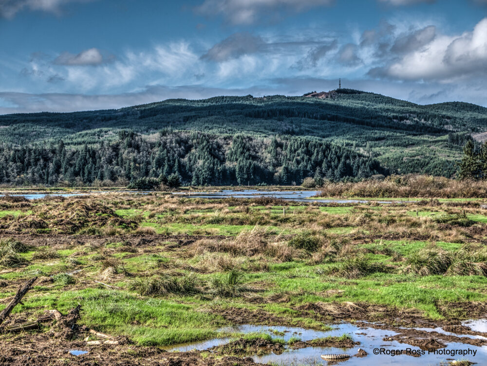
Revealing Nature’s Key Indicators Through Community Collaboration
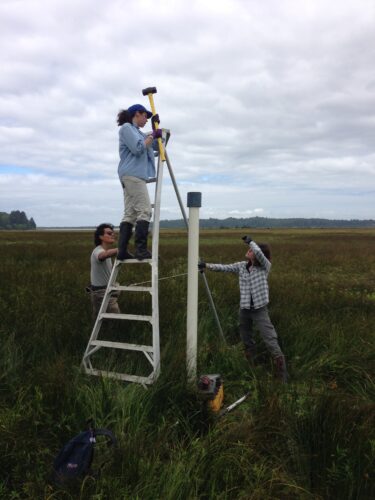
Our team of scientists, partners, and dedicated volunteers from the community systematically assesses habitat health parameters across the entire watershed, from the forests to the bay. Our focus is on meticulous data collection to develop a robust understanding of environmental conditions. Following this, we actively collaborate with a broad spectrum of partners to provide valuable context for future planning and development in North Coast communities.
For a more comprehensive explanation of our strategy see “Appendix C: Monitoring“ of our Comprehensive Conservation Management Plan (CCMP).
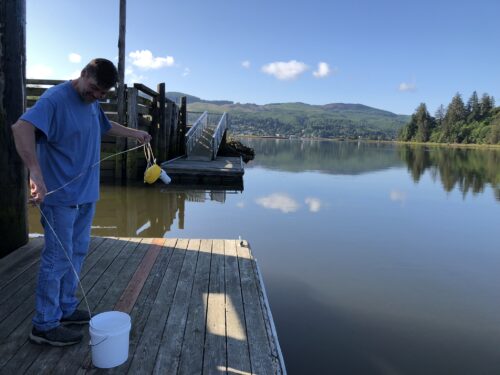
Bacteria Monitoring for Clean Water
Our volunteer water-quality monitoring program keeps the community informed by providing bi-weekly updates on the bacteria levels of local waterways. Clean water means a thriving local economy. See if your local waterway is safe to use by viewing our bacteria map.
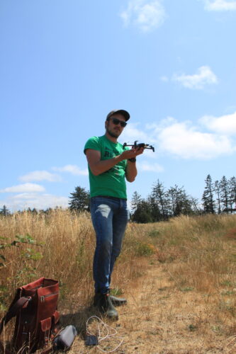
We have integrated a state-of-the-art drone program into our habitat assessment initiatives. Drones provide us with a unique perspective, allowing for efficient and detailed surveys of coastal areas that are challenging to access. This technology enhances the precision of our habitat assessments and provides valuable insights into the health of seagrass beds, the condition of fish anchor habitats, and broader coastal dynamics. The data we collect informs our understanding of the coastal environment and lays the groundwork for our conservation strategies.
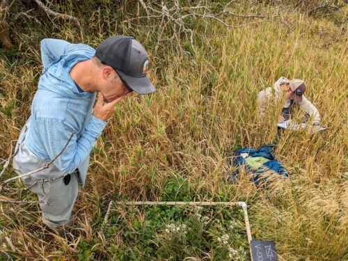
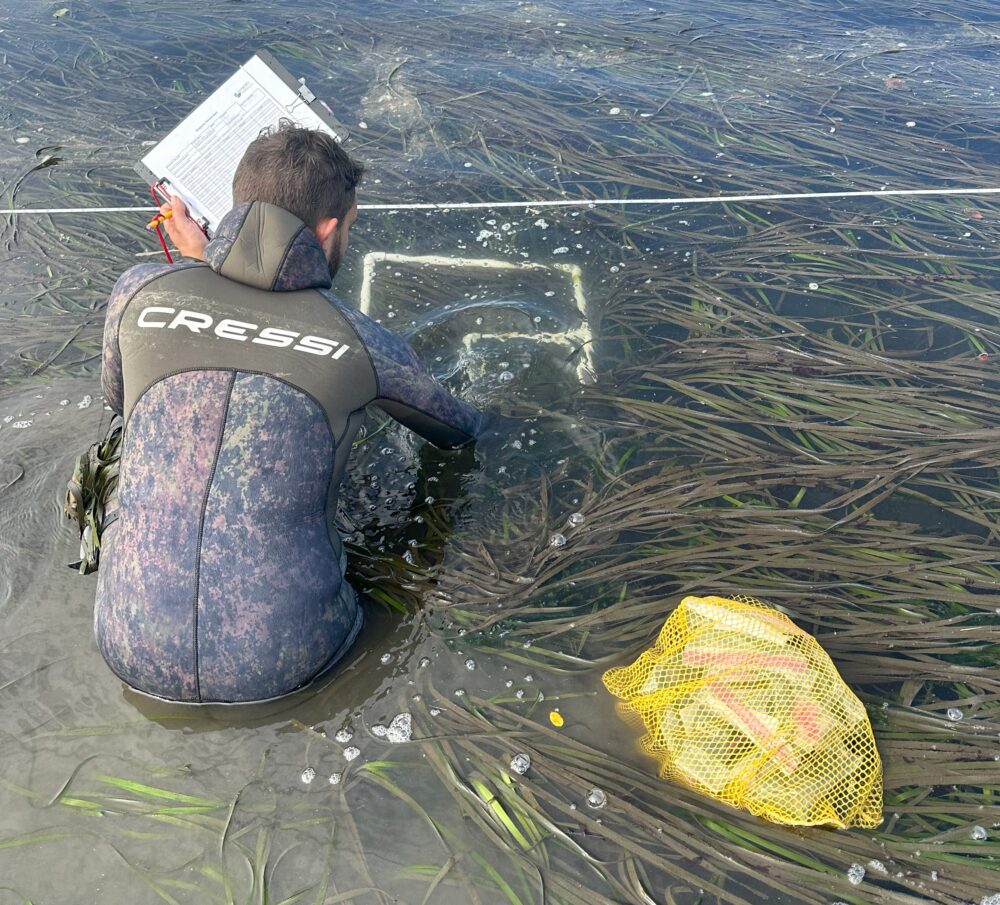
We employ project-scale effectiveness monitoring to evaluate the on-the-ground impact of habitat enhancement projects. This comprehensive approach involves collecting both pre- and post-project data so that we can assess and compare the outcomes of our restoration projects.
To ensure the reliability and relevance of our findings, TEP utilizes monitoring protocols aligned with other effectiveness monitoring efforts in our region. This not only streamlines the development of our program but also enhances its broader utility beyond our organization. Our active projects include Southern Flow Corridor, Sitka Sedge, and Tillamook River Wetlands.
Tillamook County is large and loved by many, and monitoring all of it means working together with partners. We help build the capacity for our partners to monitor activities within their watersheds. We work to make sure that stakeholders have the most up-to-date and reliable data on the current ecosystem status. Together, we ensure the longevity and resilience of the Oregon coast’s unique and diverse habitats.